
ITFM Sustain
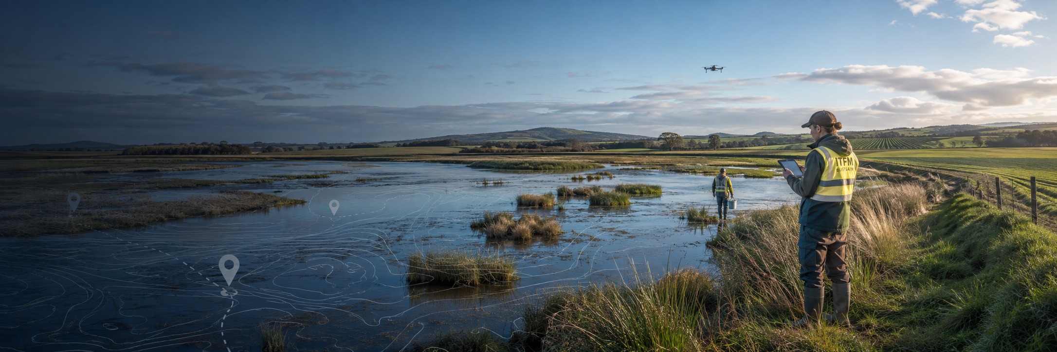
ITFM Sustain provides environmental intelligence, biosecurity surveillance and coordinated field-response capability across agricultural, coastal, wetland and other complex environments.
Combining UAV technology, geospatial data, specialist personnel, logistics and incident-management support, we help organisations detect emerging risks, understand conditions in the field and mobilise an effective response.
Environmental & Biosecurity Response
Field reconnaissance, environmental monitoring, agricultural biosecurity, wildlife disease support, site assessment, containment logistics, controlled recovery, decontamination support and response coordination.
UAV Surveillance & Environmental Intelligence
Rapid aerial reconnaissance, RGB and thermal surveillance, mapping, geospatial data capture, wetlands/coastal/agricultural monitoring, change detection and actionable field reporting.
Wildlife & Emergency Animal Disease Support
Wild-bird mortality surveillance, avian influenza reconnaissance, mapping of affected areas, UAV-assisted carcass location, field-team tasking, containment logistics and disposal-chain support.
Pest, Vector & Environmental Monitoring
Mosquito and vector habitat mapping, wetland surveillance, waterway monitoring, pest distribution mapping, agricultural/environmental surveys and repeat monitoring programs.
Incident Management & Rapid Mobilisation
Delivered with ITFM Agile:
Operational planning
Workforce mobilisation
Field-team coordination
Contractor management
Logistics
Situation reporting
Geospatial tasking
Response documentation
Our environmental and biosecurity capability supports Victorian Government agencies, local councils, agriculture, land managers and environmental authorities with UAV surveillance, mapping, monitoring, field intelligence, incident response and operational support.
Established Government Delivery Experience
ITFM is currently engaged with a high-profile government agency in Canberra under a rolling contract. The project involves centralising the office accommodation and data centre space from multiple locations within the ACT to brand new, purpose-built headquarters...